Crossing into Canada feels civilized right up until the road ahead of you disappears into 400 miles of absolutely nothing.
To be fair, Canada is spectacular.
But spectacular and comfortable are two very different things, and this country has never confused the two.
Americans who assume Canadian roads are just American roads with metric signs are in for a genuine education.
Some of these drives are not adventures. There are consequences.
1. Trans-Canada Highway Through Saskatchewan
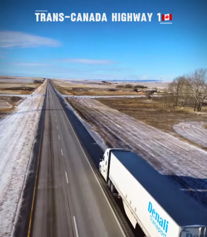
You cross the border from North Dakota or Montana, feeling the excitement of a new country.
Then Saskatchewan happens.
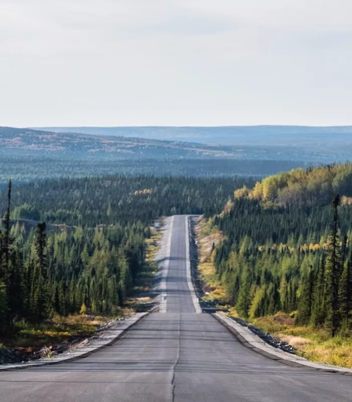
The Trans-Canada Highway (Highway 1) cuts through the southern prairies in the flattest, straightest line imaginable. For miles and miles, it’s wheat fields, grain silos, and more wheat fields.
The highway was built for speed and efficiency, not scenery. Local editors have even admitted it sticks to the shortest path, not the prettiest one.
For Americans used to the dramatic scenery of Route 66 or Pacific Coast Highway, this stretch can feel like driving on a treadmill.
There are no mountains, no coastlines, and no surprises. Just a long, flat ribbon of asphalt that tests your patience one mile at a time.
Gas stations and small towns do appear, but they are spread far apart and look almost identical to the last one you passed.
Why It’s On This List: Hundreds of miles of flat, featureless prairie with almost nothing to break up the drive. Many Americans describe it as one of the most mentally exhausting stretches of road in North America, not because it’s dangerous, but because it never changes.
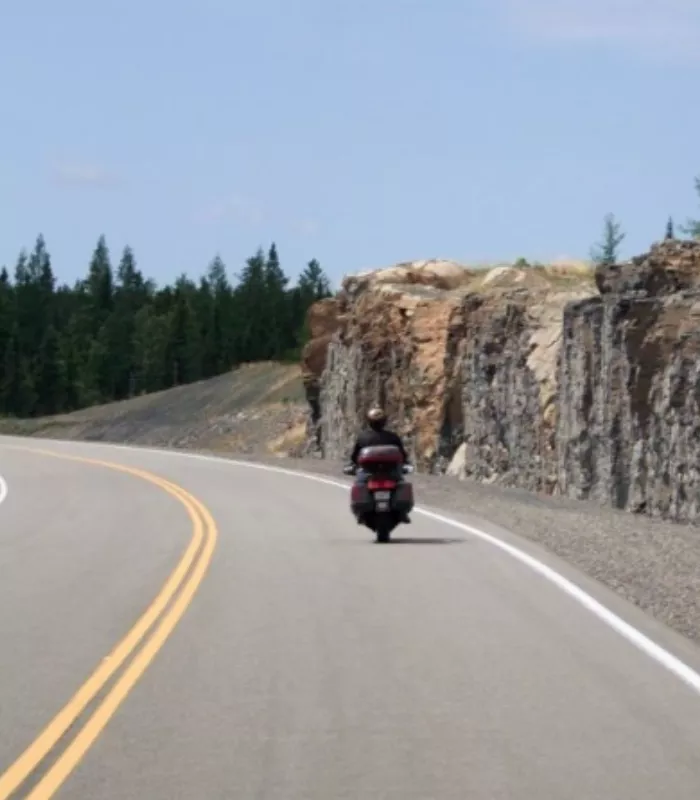
2. Coquihalla Highway (Highway 5), British Columbia
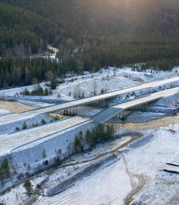
British Columbia’s Coquihalla Highway looks harmless on a summer map. It’s fast, modern, and well-maintained.
But here’s the catch: if you plan a fall or winter road trip and Google sends you this way, you could be in serious trouble.
Between 2004 and 2013, there were 32 fatal crashes recorded on this highway. In a typical winter, police report 400 to 500 accidents on this road alone.
Winter tires or chains are required in British Columbia from October 1 to April 30. Most Americans driving rental cars don’t know this rule until it’s too late.
Sudden snowstorms, dense fog, and avalanche chutes make this one of the most dangerous roads in all of North America during the cold months.
The highway climbs to over 1,200 meters above sea level, and the weather at the summit bears almost no resemblance to what you experienced at the bottom.
Truckers who drive this route regularly still treat it with extreme caution in the colder months, and they know what they are doing.
Why It’s On This List: A road that looks like a freeway can turn into a nightmare with almost no warning. Altitude climbs fast, weather changes faster, and unprepared American tourists get stranded here every single year.
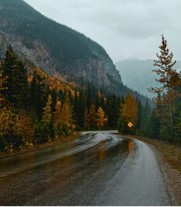
3. Highway 17, Northern Ontario
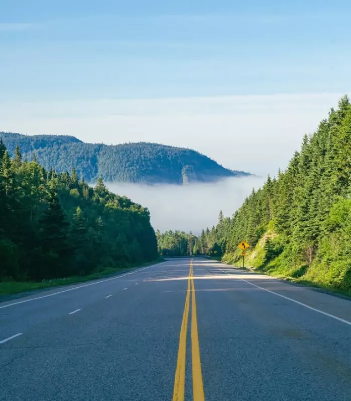
If Saskatchewan tests your patience, Northern Ontario’s Highway 17 tests your sanity.
This stretch of the Trans-Canada Highway runs for what feels like forever through the Canadian Shield. You can drive for four days and still be in Ontario.
It is mostly a two-lane road with a 90 km/h (55 mph) speed limit. Passing is limited. Moose crossings are real. Cell service disappears for long stretches.
I made a classic mistake once, planning this drive, thinking it would take one long day. It took three.
Police data shows over 40% of vehicles speed on some stretches, which tells you how frustrated drivers get on this road.
The towns in between are small and far apart. Do not assume the next one will have a full-service gas station or a place to eat.
Moose collisions are a genuine danger here, especially at dusk and dawn. These animals weigh up to 1,500 pounds and are nearly impossible to see at night.
Why It’s On This List: Americans used to interstates with four lanes, rest stops every 20 miles, and fast food on every corner will find Northern Ontario’s Highway 17 to be an isolating culture shock. There are long gaps between services, and that is not an exaggeration.
4. Dempster Highway, Yukon and Northwest Territories
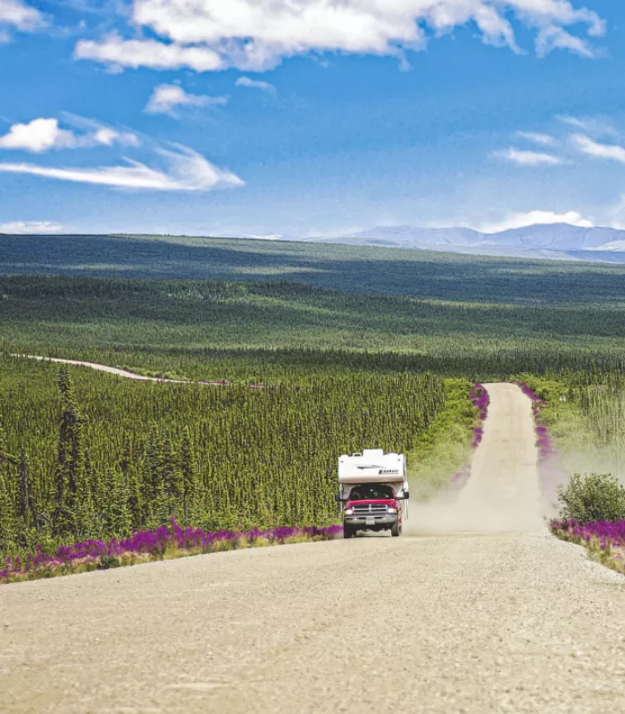
This one is not just difficult. It is genuinely dangerous for anyone who is not prepared.
The Dempster Highway stretches nearly 900 kilometers (560 miles) of mostly unpaved gravel road through the remote Canadian north. It ends near the Arctic Ocean.
You are required to carry two spare tires. Windshield cracks are almost guaranteed from flying gravel. There is only one gas station along the entire route.
Cell service is nonexistent for most of the drive. If your car breaks down, you wait and hope another vehicle comes along.
It is so remote that the tourist office in Inuvik gives you a certificate just for completing the drive.
The road crosses two rivers by ferry in summer and by ice bridge in winter. If you arrive at the wrong time of year, you may not be able to cross at all.
Night temperatures can drop to minus 40 degrees Celsius in winter. Even in July, the weather can turn severe with almost no warning.
Why It’s On This List: Americans accustomed to roadside assistance apps, gas stations every few exits, and reliable GPS will find this drive terrifying. That’s why most travel guides warn first-timers to skip it unless they have serious off-road experience.
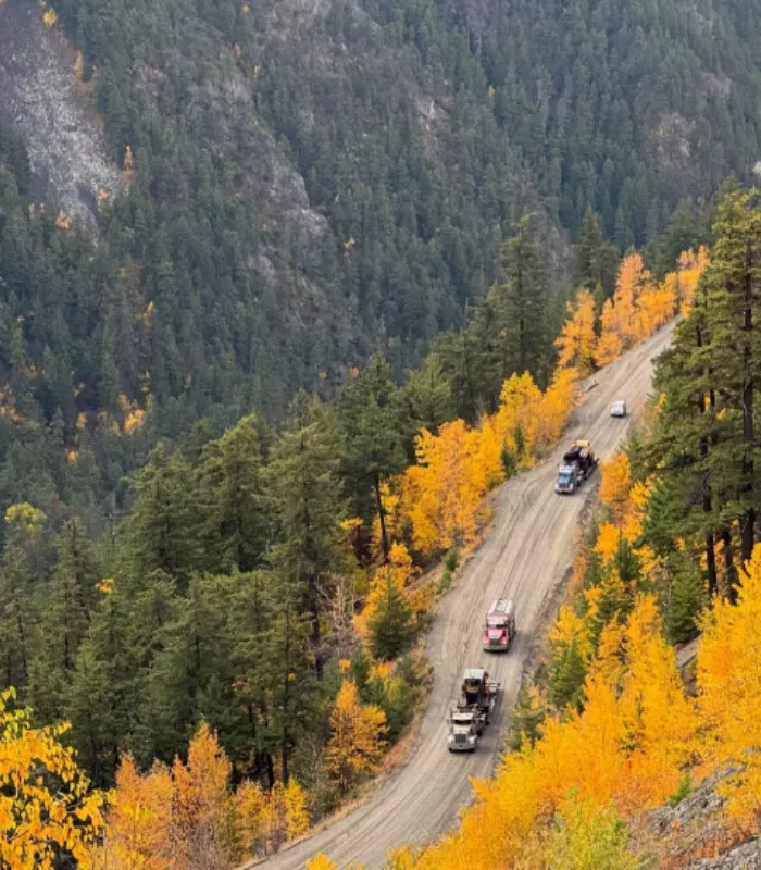
5. Trans-Labrador Highway, Newfoundland and Labrador
On paper, this road sounds exciting. It cuts through one of Canada’s most remote and untouched wilderness regions.
In reality, it is one of the most punishing drives on the continent.
The Trans-Labrador Highway only became fully paved in 2022. Before that, it was gravel, potholes, and sharp curves for hundreds of miles. Even now, the road features steep grades, narrow bridges, and winding sections that demand full attention.
There are almost no towns, no gas stations, and no services for extremely long stretches.
For a 50-plus American traveler expecting a comfortable scenic drive, this road is an endurance challenge, not a vacation.
The wildlife here is abundant, which sounds charming until a caribou steps onto the road in front of you at 100 kilometers per hour.
Locals who travel this highway regularly always carry extra fuel, food, and emergency supplies. That habit did not develop for no reason.
Why It’s On This List: Even after full paving, it remains one of the most isolated drives in the world. Breakdowns here are not a minor inconvenience. Help can be hours away, and tow trucks may not even be able to reach you quickly.
6. Highway 11, Northern Ontario (Sault Ste. Marie to Thunder Bay)
You might think this drive along Lake Superior sounds beautiful. And parts of it are.
But this is also one of the most dangerous winter roads in Canada, according to the CBC.
Freezing rain, black ice, sudden snowstorms, and no cell coverage make this stretch a serious risk from October through April. Local drivers report hitting severe snow and freezing rain on the same trip.
The road is two lanes for most of the drive, with limited passing and long gaps between towns.
That’s why Canadian road safety experts consistently rank this highway among their top danger zones year after year.
The section between White River and Marathon is particularly brutal in winter, with almost no services and conditions that can go from manageable to dangerous in minutes.
Even experienced Canadian drivers will pull over and wait out a storm on this stretch rather than push through. That tells you a lot.
Why It’s On This List: Americans often pick this route to loop around Lake Superior without realizing the conditions can change from clear to deadly in under an hour. Without winter driving experience, this road can be extremely unforgiving.
7. Bella Coola Road (The Hill), British Columbia
This 454-kilometer drive through central British Columbia sounds like a classic scenic route.
Then you hit “The Hill.”
A section of the road drops nearly 1,500 meters in elevation over a very short distance. The grade reaches 18% in some spots. There are no guardrails on parts of the descent. The road is narrow and unpaved in sections.
Many rental car companies specifically ban their vehicles from being driven on this road.
You’re better off looking up this road on video before you go, because seeing it is the only way to understand why it makes so many worst-of lists.
Drivers have reported their brakes overheating on the descent. Pulling over to let them cool down is not just recommended. It is often necessary.
The nearest major town is hours away in either direction, so if something goes wrong, your options are limited, and your wait will be long.
Why It’s On This List: The combination of steep switchbacks, no guardrails, and unpaved surface makes this a white-knuckle experience even for experienced drivers. For 50-plus American travelers in a standard rental sedan, this road is simply not safe.
8. Trans-Taiga Road, Northern Quebec
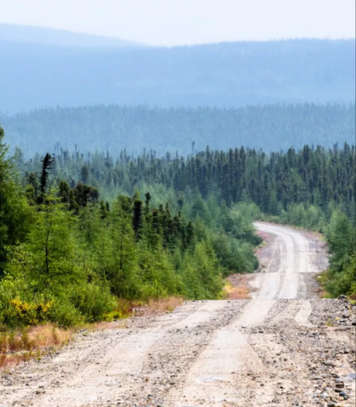
This one is not just off the beaten path. It is the most remote road accessible by car in all of North America.
The Trans-Taiga Road runs 666 kilometers through the boreal wilderness of northern Quebec. There are no towns along the route. No services. No emergency help nearby.
It is entirely unpaved, and conditions change constantly with the seasons.
This road exists mainly to service hydroelectric infrastructure. It was never designed for tourists.
Most American GPS apps do not even route you here, which should tell you everything you need to know.
In spring, the road can be partially flooded or severely damaged by frost heave, making sections impassable without a high-clearance vehicle.
Black flies and mosquitoes in summer are so aggressive in this region that stopping your car for more than a few minutes becomes genuinely unpleasant.
Why It’s On This List: If something goes wrong on the Trans-Taiga Road, you are truly on your own. No cell service, no passing travelers, no quick rescue. This road demands expedition-level preparation, not a casual road trip mindset.
9. Yoho Valley Road, British Columbia
This mountain road in Yoho National Park looks stunning in every photo you’ll see online.
But here’s the deal: it is only open from late June to late September. And even then, it is one of the most intense drives in the Canadian Rockies.
The road features sharp hairpin turns, steep grades, and sections so narrow that large vehicles have to use a special back-and-forth technique just to make the turns.
Buses and RVs are restricted or prohibited on certain sections for safety reasons.
For travelers who drove the whole way from the US expecting a relaxing mountain loop, the reality of this road can come as a very unpleasant surprise.
The turnaround at Takakkaw Falls, one of the highest waterfalls in Canada, requires a multi-point turn on a narrow mountain road with a significant drop on one side.
Park staff are stationed there specifically to help drivers who underestimate what they are getting into, and they stay busy all summer long.
Why It’s On This List: The combination of an extremely short open season, difficult hairpin turns, and size restrictions catches many American visitors off guard. If you are towing anything or driving a larger vehicle, this road will stop you cold.